Projects of Idea Design Group
Menu
Projects
Services
About
News
Clients
Products
Contact
geo
|
eng
Projects
All
gis & maps
web & mobile
branding & design
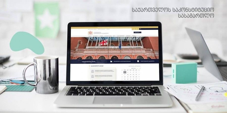
Development of Web Portal of the Constitutional Court of Georgia
Design and Development of the Website NUTS.ge
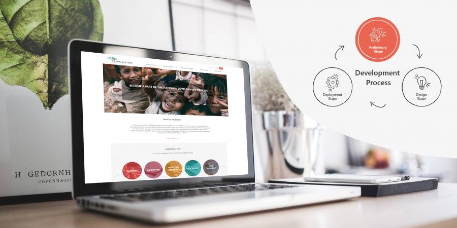
Website Design and Development For NSDS
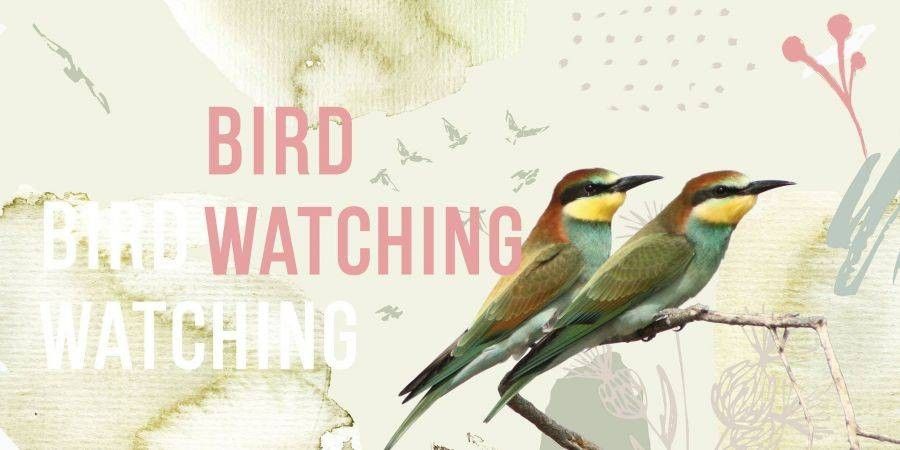
Design of Brochure for Sabuko (Society for the Conservation of Nature)
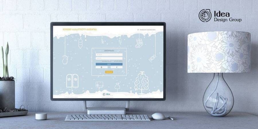
Create a New Year's Mood - Secret Santa (web application)
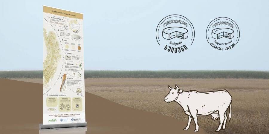
Creation of the Stand Banner's Design for Sulguni
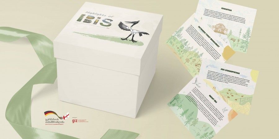
Creation of branded materials for IBiS Project
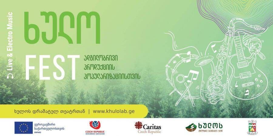
Design of Banner for ხულოFEST
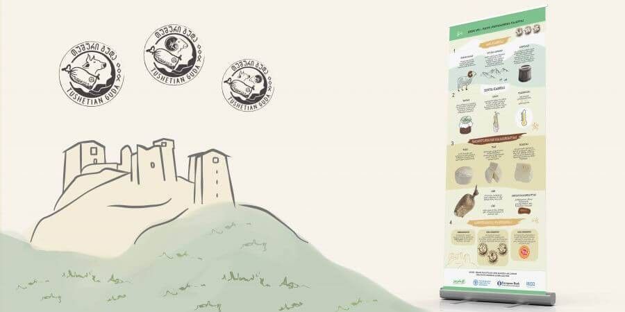
Creation of Stand Banner’s Design for Tushuri Guda
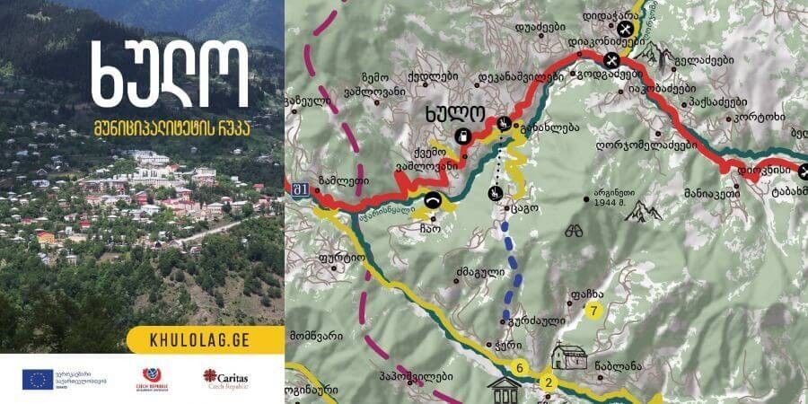
Tourist Map for Khulo Municipality
<
1
...
6
...
17
>
Projects
Services
About
Photo Gallery
News
Clients
Products
Contact
Close
Close