Projects of Idea Design Group
Menu
Projects
Services
About
News
Clients
Products
Contact
geo
|
eng
Projects
All
gis & maps
web & mobile
branding & design
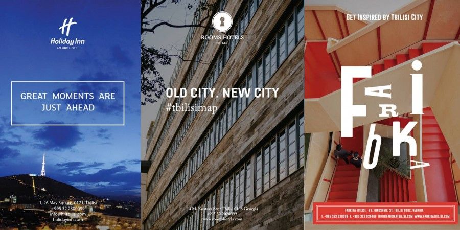
Special edition of tourist maps for Rooms Hotel Tbilisi, Holiday Inn and Fabrika
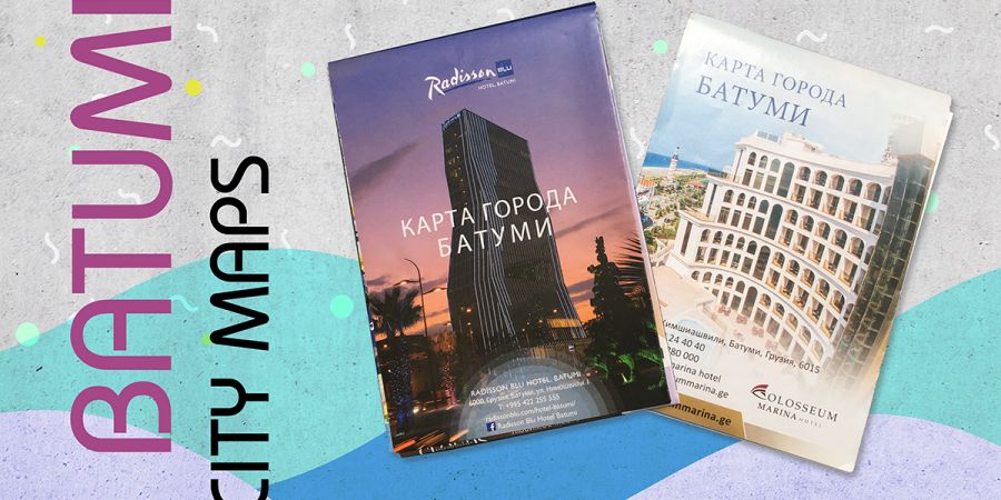
Branded Maps of Batumi for Radisson Blu Hotel and Colosseum
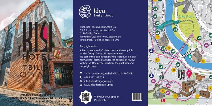
Branded Tbilisi Maps for Golden Palace Hotel, Kisi Hotel, Hotel Vilton and Hotel British House
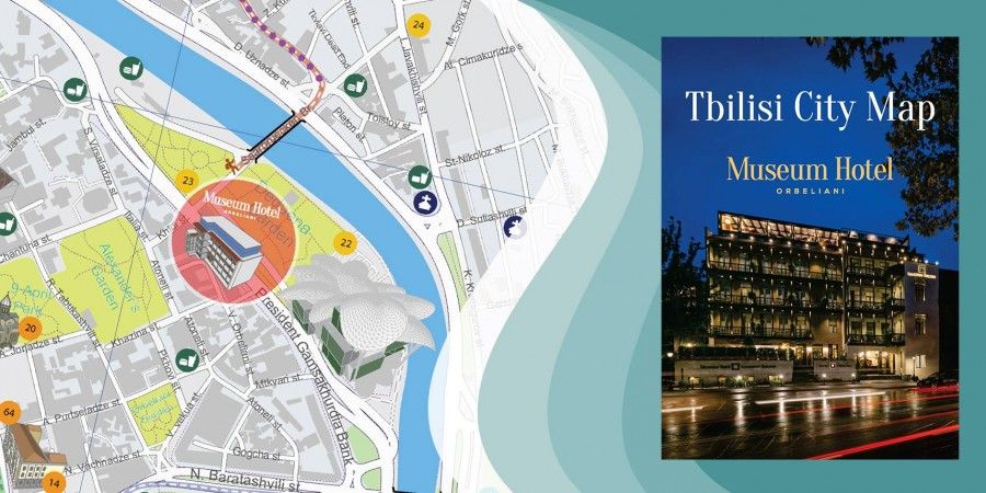
Creation of Tbilisi touristic map in English and Russian languages exclusively for Museum Hotel
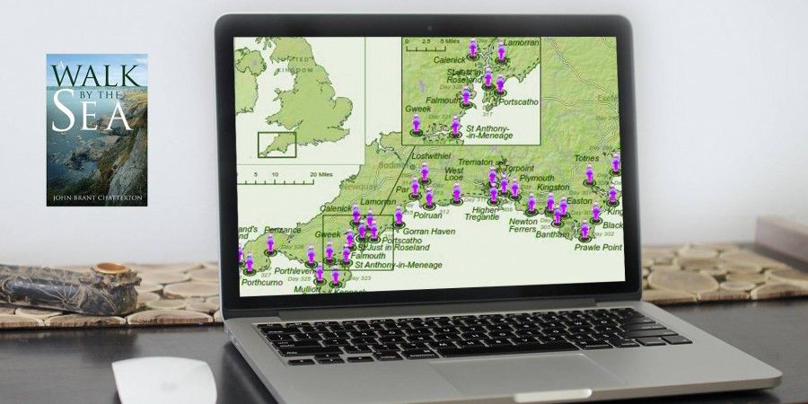
Creation of illustrative map for the British book "A Walk By the Sea by John Brant Chatterton"
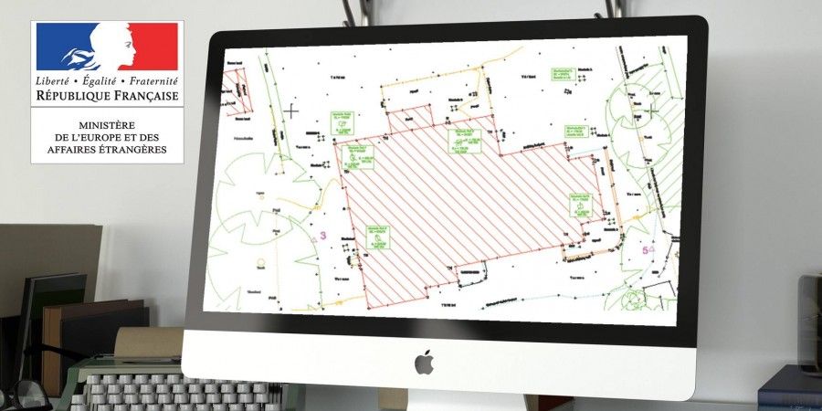
Embassy-owned land topological drawing preparation
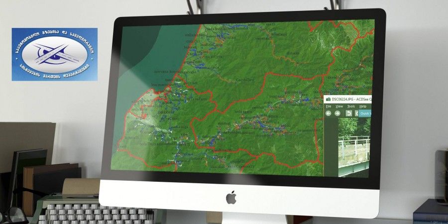
Creation of electonical digital maps of roads that are on the balace of department and creating united database of Geographical data
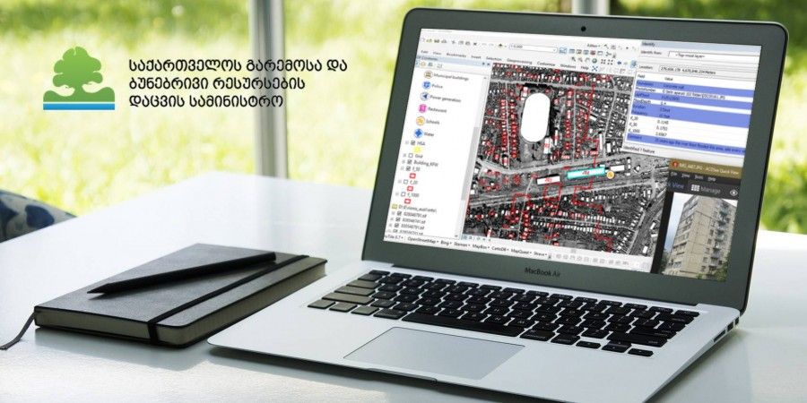
Invertarisation of the buildings located on River Rioni basin high risk flood zone (Samtredia, Kulashi, Tsageri, Lentekhi, Kutaisi)
England's east coast erosion risk assessment in GIS
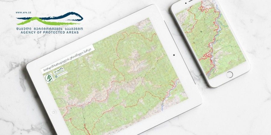
Borjomi-Kharagauli National park and protected area border correction, delineation and mapping
<
1
...
4
...
6
>
Projects
Services
About
Photo Gallery
News
Clients
Products
Contact
Close
Close