Tbilisi City Scenario (earthquake hazard and risk assessment)
Status: Finished
The project was aimed to create a database of the elements at risk for Tbilisi, for assessment of the seismic risk in the city.
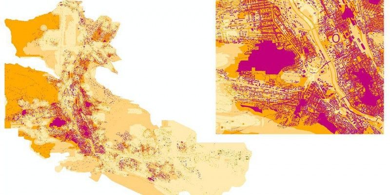
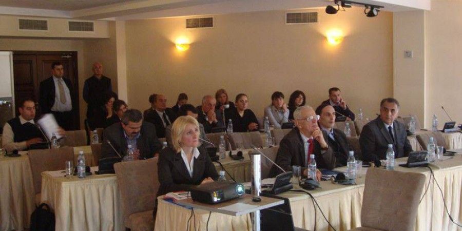
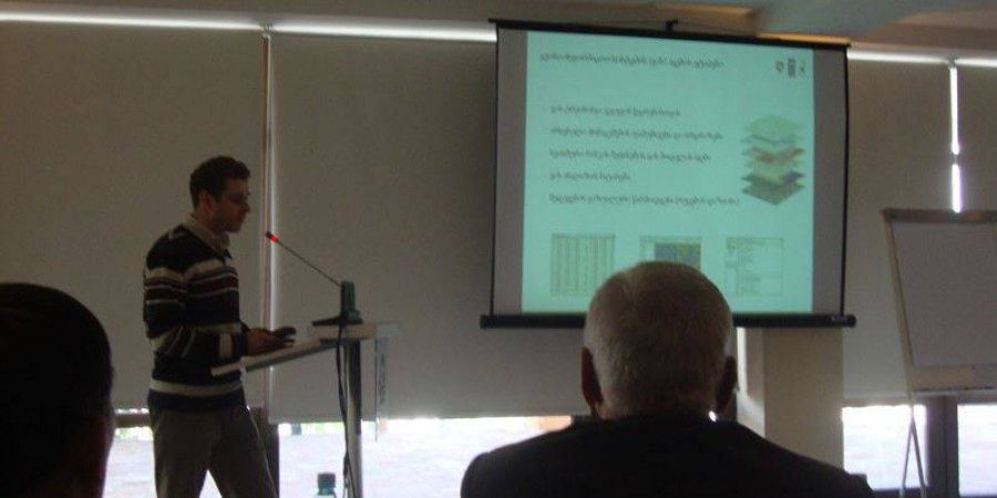
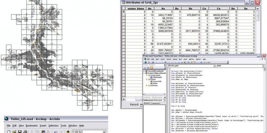
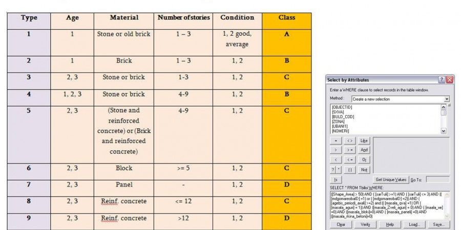
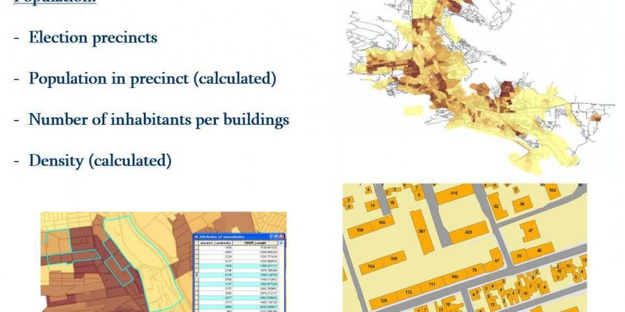
At the initial stage of the project, it was necessary to conduct GIS training to enable the staff of the Institute to process GIS data. Experts of Idea Design Group developed a customized course in GIS and conducted the training for 10 specialists. After the training, under the supervision of our GIS experts,the data on buildings, utility networks, transport, population distribution and probabilistic seismic hazard were collected and organized in the GIS database. Data were aggregated in 1x1 km grid cells and were used for further analysis of seismic risk. Different thematic maps were designed for visualizing collected data and the results of the analysis.
The project was pilot for Tbilisi, incorporating modern scientific approach for the risk assessment.
| Tasks Performed: |
Technology: |
|
|
