Development of GIS Based Urban Transport Management System
Status: Finished
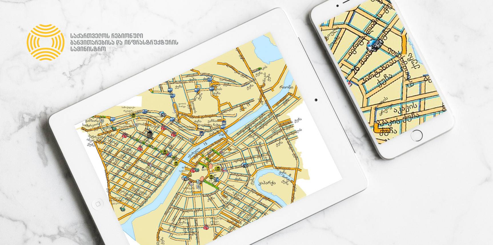
The main scope of the project was to collect data on streets and urban transportation for the eight selected cities of Georgia and organize them into a Geographic Information System for further planning and management.
The work was conducted in the cities of Kutaisi, Zugdidi, Poti, Anaklia, Mestia, Marneuli, Rustavi and Mtkheta.
In scope of the project georeferenced basemaps for the project cities were updated; a database on streets and urban transport assets including descriptive information was created; a asset management system on a geographic information system (GIS) domain at the Ministry for decision making was created and successfully implemented; the staff capacity was developed by specialized and on job trainings.
Collected spatial (graphical) data included: street center lines, bridges, storm water gullies and ditches, sidewalks, kerbs, road signs, traffic lights, street lights, bus stops, bus and microbus routes, etc.
Collected attributive data included: road condition, width, material, bridge technical data, width of sidewalk, kerbs width/height, road marking, road sign codes, detailed information on bus stops and routes, etc. The data were collected using detailed questionnaires (data model) designed by the standards similar to the standards used in the European Uniton.
All assets of the street network and transportation were photographed.
The following licensed software and hardware were provided to the beneficiary:
- ArcGIS for Desktop 10.2 Basic Edition
- hp Workstation (desktop computer)
| Tasks Performed: |
Technology: |
|
|