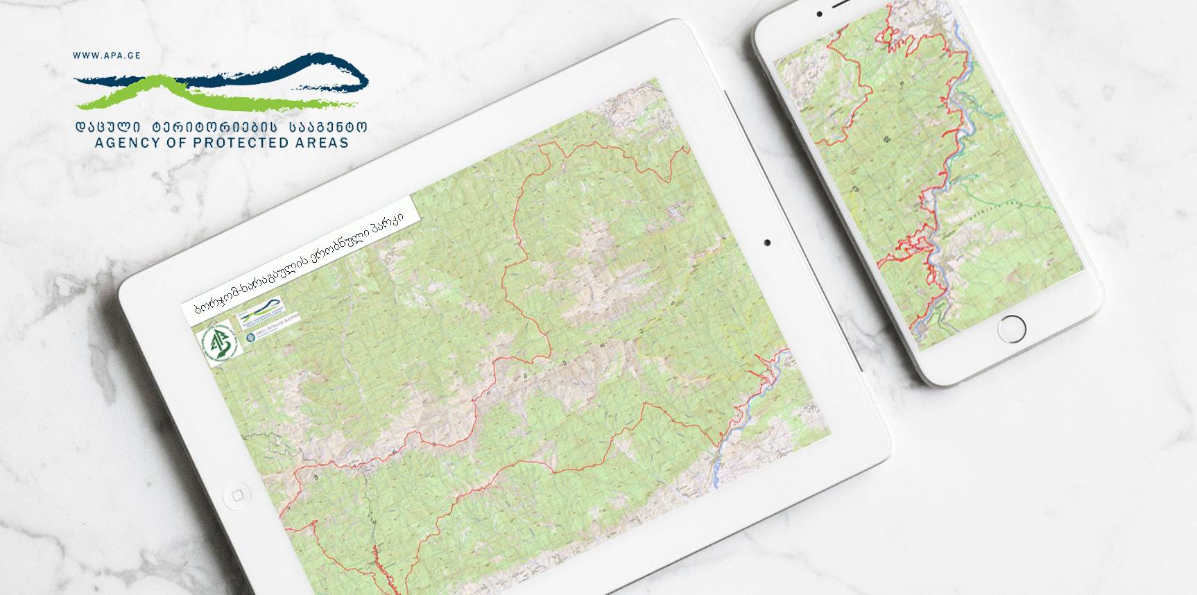
Borjomi-Kharagauli National park and protected area border correction, delineation and mapping
11
December
2017
-
11
December
2017
Status: Completed.
Project objectives:
- Field survey with the the high precision GPS equipment along the border carried out;
- Find out and analize relevant documents about ownership of the neighboring lands of the interested teritory;
- Prepare the intermediate map of the teritory and consulate with customer;;
- Preparation of the maps and land registration documents.